
Oil and gas are not spread evenly under the country — they are concentrated in a handful of sedimentary basins, and within those, in specific rock layers called plays. Knowing where the production is, and what kind it is, is the first step to understanding any opportunity you are shown.
A basin is a large, bowl-shaped region where sediment accumulated over millions of years, cooking organic material into hydrocarbons. A play is a specific productive formation within one or more basins, often a shale layer that modern horizontal drilling and fracking unlocked. The map below lets you explore both. Toggle between basins and shale plays, then select any point to see its location, dominant product, and a few defining facts.
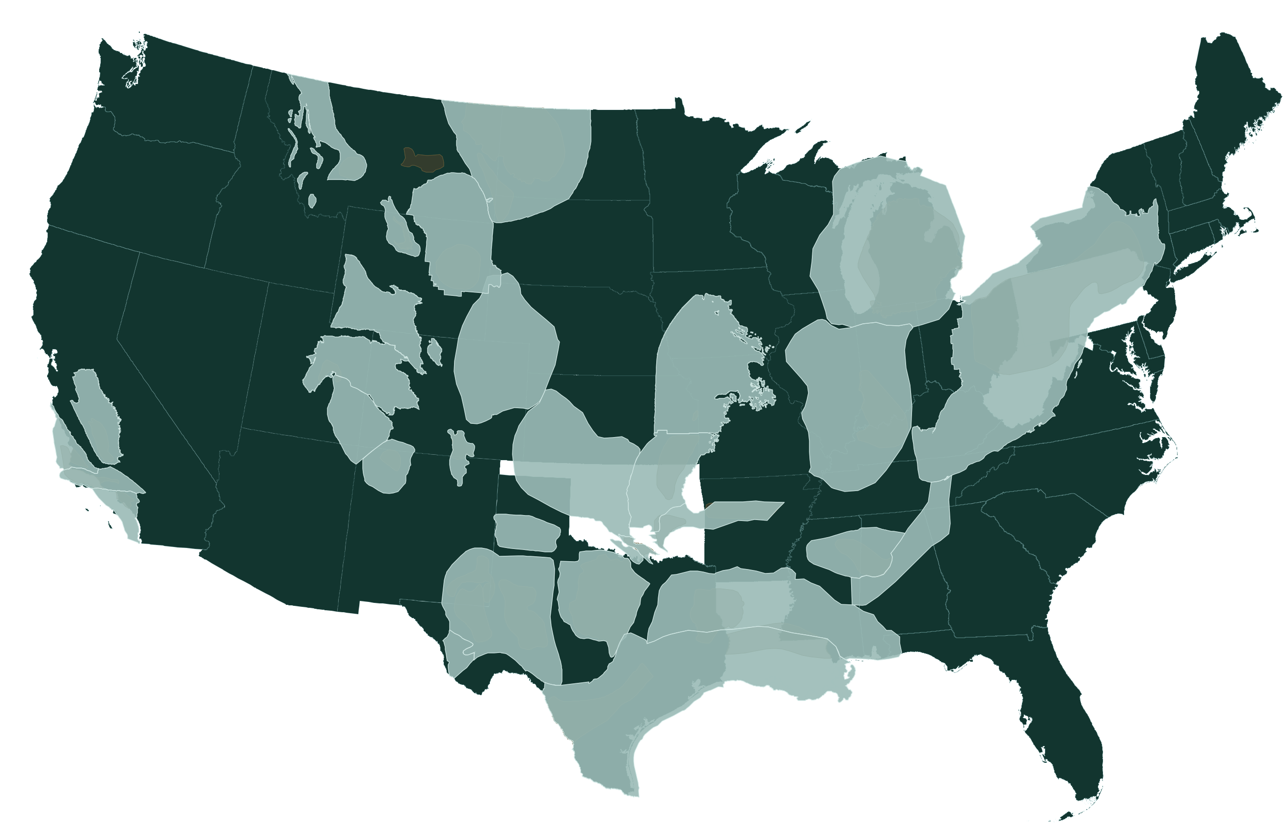
How to read the map
Two things matter most when you look at where a prospect sits. First, the dominant product: an oil-weighted basin behaves very differently from a gas-weighted one, because oil and gas prices move independently and the tax and transport economics differ. Second, the infrastructure around it, a world-class reservoir with no pipeline to market is worth far less than a modest one next to an export terminal.
Think of the basin as the neighborhood and the play as the specific building. The Permian Basin is a region; the Wolfcamp is a stacked set of productive layers within it. A single basin can host several plays at different depths, which is why one location can support many wells.
Why geography drives economics
Location determines three of the biggest variables in any investment: the quality and quantity of the resource, the cost to drill and complete a well, and the price the production ultimately fetches at market. A basin near refining and export infrastructure, like the Gulf Coast or the Permian, typically realizes better prices than a remote one like the Williston, where production can be discounted for the cost of getting it out.
As you evaluate any specific opportunity, place it on this map first. Knowing the basin, the play, and whether it is oil- or gas-weighted tells you most of what you need to ask about next: the decline profile, the takeaway capacity, and the price environment the economics depend on.
Being in a great basin does not make a specific well a great investment. Acreage quality varies enormously even within a play, and operator skill and lease terms matter as much as geography. Use the map to orient yourself, then do the well-level diligence.